Why MineAR?
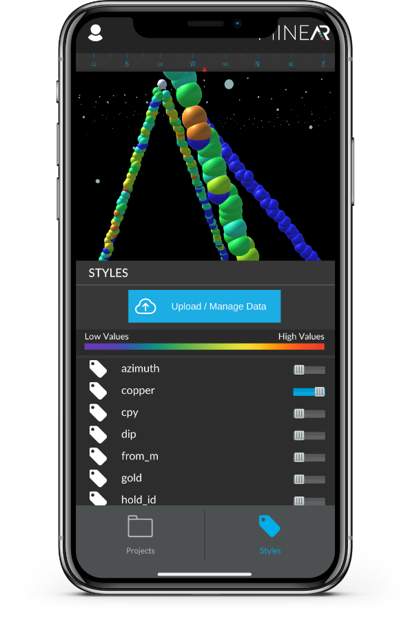
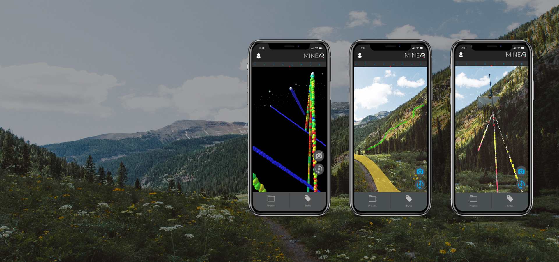
As a geoscience professional, we know you want an easier way to see your GIS data from the field. MineAR is a 3d maping software that allows you to do exactly that. Our mobile GIS app seamlessly allows you to upload your subsurface data and lets you see it alongside your surrounding terrain and geography. MineAR helps eliminate costly mistakes by allowing you to engage with your data, see obstructions for your mining or drilling locations, and compare the topography with where you need to drill. Discover all of this all on our app.
How it works

load your data
Expect accurate and dependable results that are fast and responsive.

Viewing your data
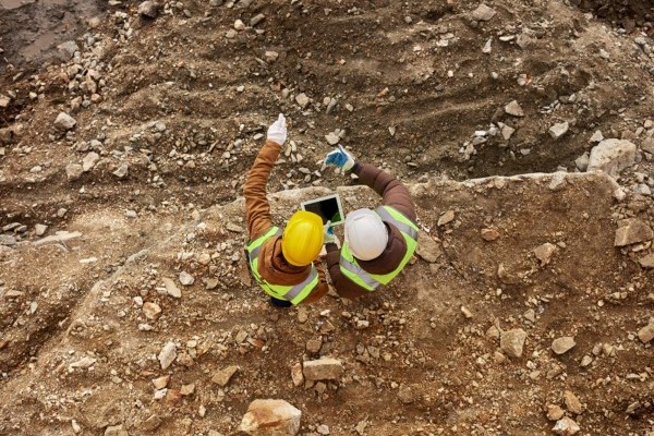
No more frustration. Confirm your mine drilling planning and cross-reference your data while never leaving the jobsite.

Discover
Eliminate unknowns as you locate minerals in real time.

Eliminate unknowns as you locate minerals in real time.
We’ll help you discover something new
MineAR gives you a clearer picture of your data, allowing you to make informed decisions to save your company time and money.
Here’s how our app is different than your typical desktop Mining software:
- Our 3d geological mapping app allows you to view subsurface data where you’re located in the field for more accurate mine drilling mapping.
- View 3D geological maps that aren’t limited to a desktop computer, allowing you to avoid costly mining or drilling mistakes on the job
- See labeled roads, rivers, trails, and points of interest at current or potential worksites
- Interact with our easy-to-use interface that automatically saves datasets so you can view offline at any mine site

Free trial
Join MineAR’s community of explorers free for 7 days. Our free trial for early adopters allows you to utilize our geology software to upload and view your data plus other premium features like our NearMe functionality that shows roads, rovers, points of interest, and elevation models in your location plus the ability to upload, view and stylize your GIS data.


